
{{product.productLabel}} {{product.model}}
{{#if product.featureValues}}{{product.productPrice.formattedPrice}} {{#if product.productPrice.priceType === "PRICE_RANGE" }} - {{product.productPrice.formattedPriceMax}} {{/if}}
{{#each product.specData:i}}
{{name}}: {{value}}
{{#i!=(product.specData.length-1)}}
{{/end}}
{{/each}}
{{{product.idpText}}}
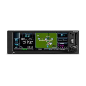
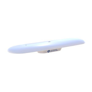
... to connect to the Garmin Pilot™ or ForeFlight apps. SLIM GPS NAVIGATION Created for Part 23 Class I/II aircraft (weighing less than 6,000 lbs) and experimental/amateur-built aircraft, GPS ...
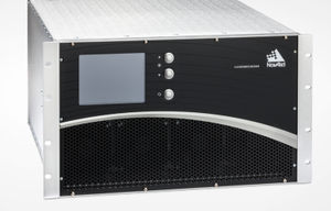
... been proven and refined over three generations of development and testing.Features Independent acquisition and tracking of GPS L1 C/A, L1C, L2C, L5 and GEO L1 C/A and L5 signals Semi-codeless tracking of L2-P(Y) signals Temperature ...
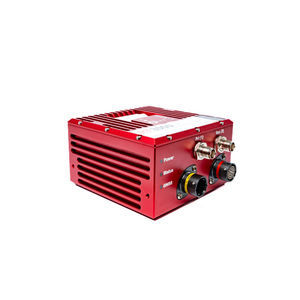
NovAtel Inc.

... The GPSS interfaces with the composite roll steering commands output by GPS navigators to fly a complete, pre-programmed flight plan—hands off. If the GPS database includes instrument approach procedures, the flight plan ...
Genesys Aerosystems
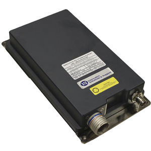
... The IS&S GPS Sensor Unit is a satellite receiver that utilizes the signals coming from Global Positioning System ( GPS) satellite constellation and satellite-based augmentation systems (SBAS) such as the ...
... The DTS is an aircraft equipment used for geolocation as well as message transmission and reception. It transmits messages that are either pre-recorded or selected by the operator, or automatically triggered by a particular ...
... -Play GNSS Compass is a fully plug-and-play solution with support for both NMEA 2000 and NMEA 0183. There is no configuration, setup or calibration required. Reliable position and heading in minutes. GNSS Heading GNSS ...
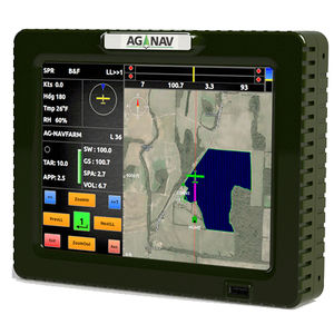
... Simply put, the all-new Guia Platinum GPS navigation system makes your next job better. Brand new touch screen interface The Guia Platinum is equipped with a large 8.4" touch screen display. The brand new touch user interface takes ...
AG-NAV
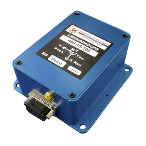
... LandMark™60 INS/ GPS is the lowest noise version of our standard LandMark™ INS/ GPS and now also features CANBUS output. GPS aiding is included in all units for turning error correction as well as for continued ...
Gladiator Technologies
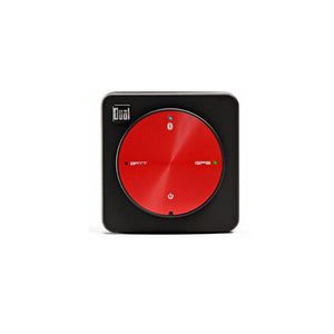
... High-sensitivity WAAS GPS receiver works with most apps that require GPS Wirelessly connects to devices via Bluetooth iPad (All Models) iPod Touch iPhone Bluetooth-Enabled Smartphones, ...
DUAL
... Combining survey-grade GNSS positioning with OxTS’ best ever inertial measurement unit, the RT3000 v4 offers a robust, out-of-the-box navigation solution for uninterrupted position, orientation and motion data in all environments. Why ...
Oxford Technical Solutions Ltd.
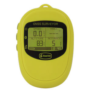
... The Bad Elf GNSS Surveyor comes with: 3ft (90cm) Mini-USB cable for charging 12-24V DC vehicle USB charger Detachable Neck LanyardYou can purchase replacements and spares for the above items as well as handy accessories. ...
Bad Elf
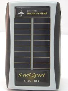
... combines the latest in GPS and AHRS technology to bring pilots an affordable backup solution that is both Android and iOS compatible. The internal GPS is able to accurately track your position on top of a chart in areas ...

... and 3D magnetometers. GNSS/INS ArNav M1G includes all the functions of ArNav S1A, a GNSS receiver that can receive and track all four major GNSS constellations ( GPS L1C/A, GLONASS L1OF, Galileo E1-B/C ...
the best suppliers