
- Home page
- buying guide
- navigation software
navigation software
navigation software: A technical guide

4 Criteria to choose your navigation software
RTCA DO-178C Compliance
Ensures software integrity and safety-critical reliability for EASA and FAA airworthiness certification in high-risk flight envelopes.
Multi-Constellation GNSS Integration
Reduces signal vulnerability by synchronizing GPS, Galileo, and GLONASS data for precise positioning in congested or contested airspaces.
Real-time Data Interoperability
Facilitates seamless synchronization with EFB and FMS systems through standardized ARINC protocols to minimize pilot workload during flight.
SWaP-C Optimization
Balances computational power and memory footprint to maximize hardware efficiency across diverse platforms from tactical UAVs to widebody jets.
Available technologies and advantages
Flight Management Systems
Integrated avionics suites manage complex flight phases through performance databases and trajectory prediction algorithms designed for commercial and military aircraft. These systems maximize automation and reliability while requiring high capital expenditure and specialized maintenance for database cycles.
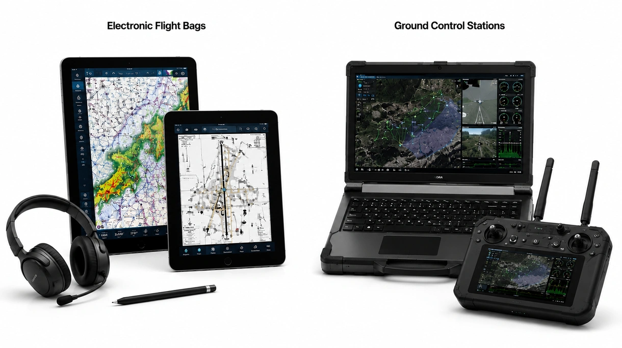
Electronic Flight Bags
Tablet-based applications provide pilots with dynamic charting, weather overlays, and weight-and-balance calculations replacing legacy paper-based cockpit documentation and workflows. These tools offer high flexibility and lower costs but lack deep hardware integration found in primary avionics systems.
Ground Control Stations
Mission planning software for unmanned systems prioritizes waypoint sequencing, telemetry monitoring, and autonomous geofencing capabilities across diverse tactical environments. Customization is a major benefit while interoperability remains a limitation when operating within shared civilian controlled airspace.
6 expert tips
Select certified software always verify the technical certification to ensure compliance with local building safety standards and long-term durability.
Evaluate update costs always verify the technical certification to ensure compliance with local building safety standards and long-term durability.
Prioritize modular architectures always verify the technical certification to ensure compliance with local building safety standards and long-term durability.
Demand cybersecurity protocols always verify the technical certification to ensure compliance with local building safety standards and long-term durability.
Confirm GNSS compatibility always verify the technical certification to ensure compliance with local building safety standards and long-term durability.
Assess pilot interfaces always verify the technical certification to ensure compliance with local building safety standards and long-term durability.
Innovations and Trends
Machine learning analyzes atmospheric data to reduce fuel consumption and optimize flight paths for commercial fleets.
Optical sensors map terrain features to provide redundant positioning during GNSS-denied environments for enhanced mission safety.
Cloud platforms enable real-time synchronization between aircraft and ground operations to improve overall fleet maintenance efficiency.
Software protocols facilitate autonomous drone operations within dense urban airspaces according to evolving international aviation regulatory standards.
*Prices are pre-tax. They exclude delivery charges and customs duties and do not include additional charges for installation or activation options. Prices are indicative only and may vary by country, with changes to the cost of raw materials and exchange rates.
About AeroExpo
AeroExpo is a marketplace that offers B2B players a complete experience, from product sourcing to purchase. AeroExpo is an entity of VirtualExpo Group.
Are you a buyer?
Are you a supplier?