
- Home page
- buying guide
- mapping UAV
mapping UAV
mapping UAV: A technical guide
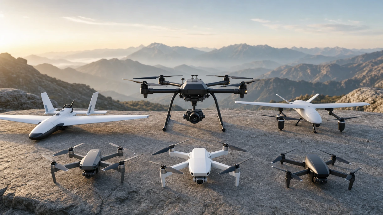
4 Criteria to choose your mapping UAV
Positioning accuracy and precision
Real-time kinematic and post-processed kinematic systems ensure centimeter-level geospatial accuracy essential for rigorous aeronautical survey standards and certification.
Sensor payload integration capacity
Modular architectures allowing high-resolution photogrammetric and LiDAR sensors optimize data density required for complex terrain and infrastructure analysis.
Flight endurance and range
Extended battery life or hybrid propulsion systems maximize area coverage per sortie reducing operational downtime and logistics costs.
Regulatory airspace compliance capability
Integrated Remote Identification and failsafe systems satisfy FAA and EASA Category regulations for complex operations in shared airspace.
Available technologies and advantages
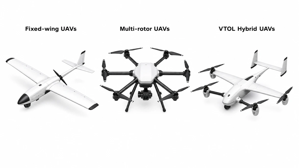
Fixed-wing UAVs
High-speed platforms offer superior aerodynamic efficiency for large-scale mapping projects requiring extensive linear coverage. These systems provide exceptional range but require significant takeoff space and lack hovering precision.
Multi-rotor UAVs
Vertical systems excel in complex environments providing stationary hovering for high-definition imagery and oblique views. They offer unmatched maneuverability and deployment ease although limited battery life restricts total area coverage.
VTOL Hybrid UAVs
Combining vertical lift with fixed-wing cruising these platforms maximize operational flexibility across diverse aeronautical environments. They resolve the trade-off between deployment footprint and mission endurance despite increased mechanical complexity.
6 expert tips
Prioritize platforms with redundant flight controllers to ensure mission continuity during critical geospatial data acquisition in restricted airspace environments. Always verify the technical certification to ensure compliance with local building safety standards and long-term durability.
Select sensors with mechanical shutters to eliminate rolling shutter distortion during high-speed aerial photogrammetry for superior map accuracy. Always verify the technical certification to ensure compliance with local building safety standards and long-term durability.
Evaluate data encryption protocols to protect sensitive geospatial intelligence against unauthorized access during wireless transmission to ground stations. Always verify the technical certification to ensure compliance with local building safety standards and long-term durability.
Implement comprehensive fleet management software to track maintenance intervals and pilot currency for strict adherence to aviation safety. Always verify the technical certification to ensure compliance with local building safety standards and long-term durability.
Opt for weather-sealed airframes with high ingress protection ratings to maintain operational readiness during adverse meteorological conditions in field. Always verify the technical certification to ensure compliance with local building safety standards and long-term durability.
Invest in training programs for certified pilots to minimize organizational liability risks while operating within international aeronautical frameworks. Always verify the technical certification to ensure compliance with local building safety standards and long-term durability.
Innovations and Trends
Advanced satellite and cellular links enable long-range mapping missions beyond operator visibility enhancing data collection over vast areas.
Real-time onboard data processing identifies topographical features instantly reducing post-processing time and accelerating critical decision-making for engineering teams.
Compact high-resolution laser scanners provide unprecedented point cloud density while reducing weight and power consumption for smaller UAVs.
Clean energy propulsion significantly extends mission flight times allowing for continuous monitoring of expansive airport infrastructure and runways.
*Prices are pre-tax. They exclude delivery charges and customs duties and do not include additional charges for installation or activation options. Prices are indicative only and may vary by country, with changes to the cost of raw materials and exchange rates.
About AeroExpo
AeroExpo is a marketplace that offers B2B players a complete experience, from product sourcing to purchase. AeroExpo is an entity of VirtualExpo Group.
Are you a buyer?
Are you a supplier?