

Erreichen Sie das ganze Jahr über neue Kunden an einem einzigen Ort
Aussteller werden
{{product.productLabel}} {{product.model}}
{{#if product.featureValues}}{{product.productPrice.formattedPrice}} {{#if product.productPrice.priceType === "PRICE_RANGE" }} - {{product.productPrice.formattedPriceMax}} {{/if}}
{{#each product.specData:i}}
{{name}}: {{value}}
{{#i!=(product.specData.length-1)}}
{{/end}}
{{/each}}
{{{product.idpText}}}
{{product.productLabel}} {{product.model}}
{{#if product.featureValues}}{{product.productPrice.formattedPrice}} {{#if product.productPrice.priceType === "PRICE_RANGE" }} - {{product.productPrice.formattedPriceMax}} {{/if}}
{{#each product.specData:i}}
{{name}}: {{value}}
{{#i!=(product.specData.length-1)}}
{{/end}}
{{/each}}
{{{product.idpText}}}

... Übersicht
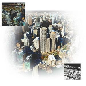
ArcGIS Reality ist ein Softwarepaket für Photogrammetrie, das Reality‑Capture‑Workflows für Baustellen, Städte und Länder ermöglicht. Es erstellt zentrale Bausteine für 3D‑Digital Twins, indem Drohnen-, Luft‑ und Satellitenbilder in ...

... Überblick
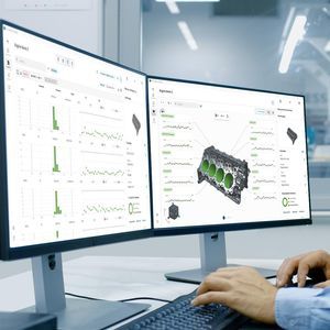
PC-DMIS FUSION ist die Reporting- und Analyseanwendung von Hexagon für PC-DMIS-Anwender und verwandelt Messdaten in Echtzeitinformationen, Visualisierungen, Erkenntnisse und SPC-Analysen. Daten synchronisieren sich automatisch aus ...


... Übersicht
Die Threat Response Unit DFIR bietet Digital Forensics & Incident Response Dienste für Unternehmen und öffentliche Verwaltungen und verbindet reaktive Vorfallbearbeitung, die Erstellung digitaler Beweise und proaktive Forensic Readiness.
Hauptbereiche
- Incident

Mindestgeschwindigkeit des Prozessors: 2 GHz
Mindestarbeitsspeicher (RAM): 4 GB - 8 GB
... Übersicht
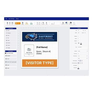
Erstellen Sie in Minuten Etiketten mit Label Boost Designer, einer kostenlosen Etikettendesign- und -drucksoftware von Epson. Als Ergänzung zu Drittanbieter-Lösungen ist sie für ColorWorks-Modelle und ausgewählte Epson-Thermodrucker ...

... Überblick
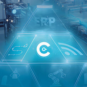
COSERA ist eine Softwarelösung zur digitalen Steuerung, Überwachung und Optimierung industrieller Fertigungsprozesse. Sie vernetzt Maschinen, Anwender, Materialfluss und Qualitätsdaten in einem zentralen System und schafft eine einheitliche ...
Erreichen Sie das ganze Jahr über neue Kunden an einem einzigen Ort
Aussteller werdendie besten Anbieter für Sie aus