
{{product.productLabel}} {{product.model}}
{{#if product.featureValues}}{{product.productPrice.formattedPrice}} {{#if product.productPrice.priceType === "PRICE_RANGE" }} - {{product.productPrice.formattedPriceMax}} {{/if}}
{{#each product.specData:i}}
{{name}}: {{value}}
{{#i!=(product.specData.length-1)}}
{{/end}}
{{/each}}
{{{product.idpText}}}
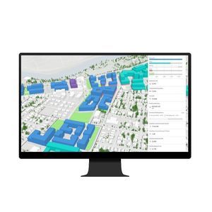
... application (ArcGIS platform).
ENVIRONMENTAL SYSTEMS RESEARCH INSTITUTE, INC.
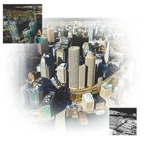
... volumes of drone imagery to create 2 D and 3D maps and models for rapid sharing across an organization.
ENVIRONMENTAL SYSTEMS RESEARCH INSTITUTE, INC.
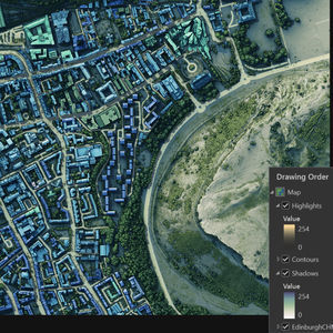
... mapping and cartographic production: extensive cartography tools, 2 D and 3D visualization, flexible layout and export options.
ENVIRONMENTAL SYSTEMS RESEARCH INSTITUTE, INC.
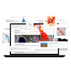
... create beautiful maps and visualizations that tell a story. Explore data distributions, find patterns, and view results in 2 D and 3D. Analyze Combine industry-leading spatial analytics from ArcGIS with open source ...
ENVIRONMENTAL SYSTEMS RESEARCH INSTITUTE, INC.

... application, is a feature-packed software developed with enhancements and ideas from the ArcGIS Pro user community. ArcGIS Pro supports data visualization; advanced analysis; and authoritative data maintenance in 2 D, ...
ENVIRONMENTAL SYSTEMS RESEARCH INSTITUTE, INC.

... Unlock the full potential of your data ArcGIS 3 D Analyst, an extension for ArcGIS Pro, improves geographic information system (GIS) capabilities with 3D data creation, editing, and analysis. It includes ...
ENVIRONMENTAL SYSTEMS RESEARCH INSTITUTE, INC.

... airfield operations while streamlining regulatory reporting. You can manage Electronic Terrain and Obstacle Data (eTOD) and create 3 D surfaces for airport obstacle analysis. Aviation Airports also allows you to create ...
ENVIRONMENTAL SYSTEMS RESEARCH INSTITUTE, INC.