


{{product.productLabel}} {{product.model}}
{{#if product.featureValues}}{{product.productPrice.formattedPrice}} {{#if product.productPrice.priceType === "PRICE_RANGE" }} - {{product.productPrice.formattedPriceMax}} {{/if}}
{{#each product.specData:i}}
{{name}}: {{value}}
{{#i!=(product.specData.length-1)}}
{{/end}}
{{/each}}
{{{product.idpText}}}
{{product.productLabel}} {{product.model}}
{{#if product.featureValues}}{{product.productPrice.formattedPrice}} {{#if product.productPrice.priceType === "PRICE_RANGE" }} - {{product.productPrice.formattedPriceMax}} {{/if}}
{{#each product.specData:i}}
{{name}}: {{value}}
{{#i!=(product.specData.length-1)}}
{{/end}}
{{/each}}
{{{product.idpText}}}
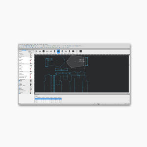

... Eastman’s patternPRO is a design and nesting software. Its comprehensive set of tools help you design pattern pieces from the start with the program’s drafting and editing tools, or even edit and finalize your existing digital patterns, ...


... Elevate your additive manufacturing to new heights with GrabCAD Print Pro, our premium software solution designed for production-grade results. With advanced features like Manufacturing Templates, Accuracy Center, and automated nesting ...
STRATASYS GMBH


... StoryMaps enables teams to turn GIS data into structured digital narratives and slide-based briefings that combine interactive maps, 3 D scenes, embedded content and multimedia. The builder provides a guided, flexible ...
ENVIRONMENTAL SYSTEMS RESEARCH INSTITUTE, INC.
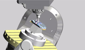

... Improved efficiency and reduced cycle times using Edgecam automation and optimized toolpaths.
HEXAGON METROLOGY SAS


... become smarter and safer.
DASSAULT SYSTEMES
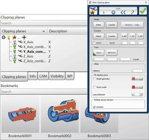

... Machining, TURNING
OPEN MIND TECHNOLOGIES AG


... Simultaneous localization and mapping (SLAM) Other near-infrared 3 D sensing applications A comprehensive NIR test solution from Radiant combines the TT-NIRI application-specific software module with ...
RADIANT VISION SYSTEMS


... /b>
Breton Maestro
3: version dedicated to
3 interpolated-axis NC machining centres. Supports extended 2.5
D machining with milling cutter, 2
D machining with vertical/horizontal disc, ...


... Renishaw's FixtureBuilder is a 3 D fixture modelling software for creating fixturing set-ups. It offers the 'Build it' feature to generate work instructions and support off-line programming for CMM, Equator™ ...


... and prepare 3 D scans for 3 D printing. Scan-to-CAD also enables designers and engineers to finalize 3 D scan data and use it in their reverse engineering ...
Creaform

... AIRCRAFT TRAFFIC AND PROCESS SIMULATION SOFTWARE CAST Aircraft is the flexible, comprehensive and most efficient modelling tool for aircraft traffic at airports and in the airspace. CAST Aircraft enables a rapid, scenario based evaluation ...
ARC (Airport Research Center) - CAST


simulation softwareCAST Vehicle Ground Handling - Airport Simulation Software
CAST Vehicle Ground Handling is the leading fast time simulation tool for evaluating airside vehicle traffic and ground handling processes. It offers decision support for planning, optimization and validation of the airside road network and ground support ...
ARC (Airport Research Center) - CAST

... CAST Terminal provides scalable and realistic models of airport terminals and other passenger handling facilities. It enables decision support for planning, design, capacity analysis and optimization of terminal infrastructure and operational processes. CAST ...
ARC (Airport Research Center) - CAST

... Floating or Educational in 3, 5, 10, 20 License Pack Also bulk pricing for Standard Edition If you don’t see the license type or bundle you are looking for just send us an email!, we have them all! Lead times: please allow 3-5 ...
... photogrammetry algorithms transform your ground or aerial images in digital maps and 3 D models. Seamlessly process your projects on your desktop using our photogrammetry software, or bundle with Pix4Dcloud ...

... Compatible file types: STL, OBJ, X 3 D, 3MF, BMP, GIF, JPG, PNG Easy to use Manufacturing doesn’t need to be complicated. We design our software so anyone can use it – both experienced ...
ULTIMAKER BV

... providing highly accurate 2 D and 3 D reconstruction, even for small objects - for unbeatable models and maps. 3 D Reconstruction Autel Mapper combines traditional and ...
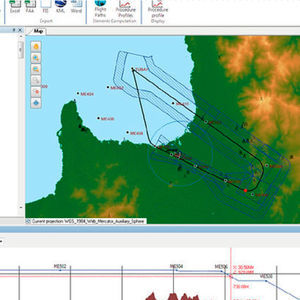

... ARINC 424, ARINC 816.
CGX


... Free Float’s breakthrough technology empowers the creation of previously impossible designs and fewer costs. And, like everything we create, it’s retrofittable. READY FOR LIFT-OFF? Boost your productivity. Free Float’s unique technology drastically ...


... into your TopSolid environment 3 D visualization has never been so easy! Perfectly integrated into the TopSolid environment, TopSolid'Virtual enables your collaborators to hold validation meetings around 3 D ...
MISSLER SOFTWARE


... synchronization and supports 3rd party machines. SOUL simulation software also comes with no annual license costs, making it a cost-effective solution for businesses looking to improve their manufacturing processes. Overall, ...
Broetje-Automation


... of lessons and sophisticated exercise settings. 3 D TWR visualization up to 360 degrees. 3 D visualization solution is provided in cooperation with NITA Company through integration with ...
CS SOFT A.S.


... and flights data. The possibility of using multi-monitor workstations combined in the walls of monitors, thanks to realistic 3 D visualization, significantly affects the perception of the entire installation. Features ...
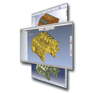

... 3 D_Evolution© performs fast and accurate CAD data conversion without the need of a CAD license and guarantees unrivalled model quality. 3 D_Evolution has interfaces for all major CAD ...
CORETECHNOLOGIE


... simulation software experience With over 20 years of R& D, the NCSIMUL G-code verification technology has become a combination of the highest performance simulation software available on the market and ...
SPRING Technologies


... Crimson Sentinel is an innovative software hypervision solution dedicated to the centralized management of protection and security systems and operations command systems. It is based on a powerful 2 D/ 3 D ...
CS COMMUNICATION & SYSTEMES


... AS Flight Analysis Software is a cutting-edge application that allows aircraft operators to replay individual flights in a richly detailed 3 D environment. AS Flight Analysis Software ...


... pseudo- 3 D landscapes based on the embedded Digital Terrain Models (DTM) module. The CDMM software comprises an extended variety of applications which are available as stand-alone solutions or as part ...
IDS INGEGNERIA DEI SISTEMI SPA


... the Inertial Measurement Unit (IMU) attached to it. Photogrammetric 3 D models are meant to be extremely accurate and to combine visual features (texture) with 3 D point clouds or 3 D ...
FLYABILITY
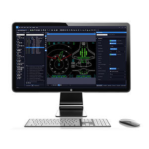

... Gain advantage over your competition Our embedded HMI systems design software makes it possible to upscale the user experience with high-quality design and high-performance while simultaneously reducing production costs. GL Studio® ...
The DiSTI Corporation
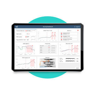

... The road to air transport recovery will be built on creating predictable experiences across the entire journey. But airports face immense pressure on delivering smooth operations with less resources and razor-thin budgets. Solving these challenges ...


... position types – pseudo-pilots, controllers, - data preparation, instructors - Any number of airspaces, scenarios, airports and 3 D models ...
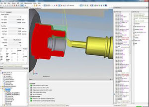

... advantages. CrashGuard Studio is the perfect addition to any CAD/CAM software, as well as to the WFL collision prevention software CrashGuard. With the help of material removal simulation, 3 D ...
WFL MILLTURN TECHNOLOGIES GMBH & CO KG
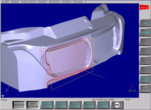

... HiMill is the Fidia CAM 3 D software for the manufacturing of moulds, dies, models and prototypes. It enables tool paths to be generated, from roughing out to super finishing, offering a wide choice of ...
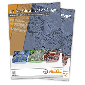

... relabelled as roof details and facade points. Vegetation is sliced into three vegetation heights (low, medium, high). Based on a 3 D search radius and the point count within this radius, non-vegetation points can be labelled ...
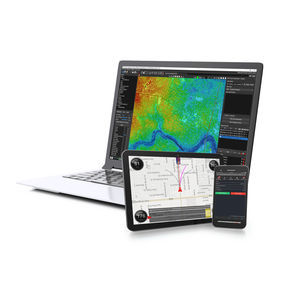

... multispectral & hyperspectral) Support for new LiDAR sensors 3 D map to better choose parts of the scan to extract as LAS Direct-georeferencing point cloud colorization (no need to wait for photogrammetry results) Tools ...


... advanced animation and X Y plotting features with window syncing to enhance results visualization. HyperView also saves 3- D animation results in Altair's compact H 3 D format ...
Altair Engineering GmbH
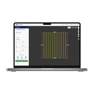

... accuracy. Create orthomosaics, digital surface models, contour and multispectral maps. View, export and share your 2 D and 3 D data files on an interactive, account-wide map. Measure linear distance ...


... Pressure from PIV software package meets the strong demand for direct extraction of full 3 D and 2 D pressure fields from PIV and Shake-the-Box (4 D-PTV) data. With only ...
LaVision GmbH
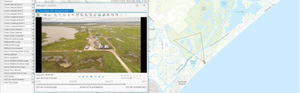

... The world's most comprehensive and flexible software for mapping, analysis, packaging and reporting using georeferenced videos, photos, documents/files and other sensor data from survey, inspection and surveillance data collection platforms. LineVision ...
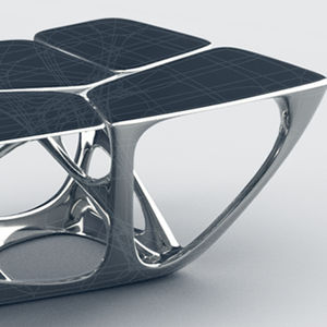

... Fusion 360TM is the first 3 D CAD, CAM, and CAE tool of its kind. It connects your entire product development process in a single cloud-based platform that works on both Mac and PC. ...
Autodesk Inc


... Easily create accurate 3 D surface model maps from aerial photographs that can be exported to CAD and GIS applications. Your license can be activated on two devices: one device for on-site Rapid Check and one device for ...
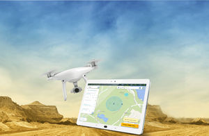

... image taking plan is executed based on DatuSurvey™ best practice requirements, for quick image linkage, geo-referencing and 3 D models generation. ...
the best suppliers