- Software - Simulation
- Software
- Mapping software
- Net Display Systems

- Products
- Catalogs
- News & Trends
- Exhibitions
Mapping software for airportfor aeronautics2D
Add to favorites
Compare this product
fo_shop_gate_exact_title
Characteristics
- Function
- for mapping
- Applications
- for aeronautics, for airport
- Type
- 3D, 2D
Description
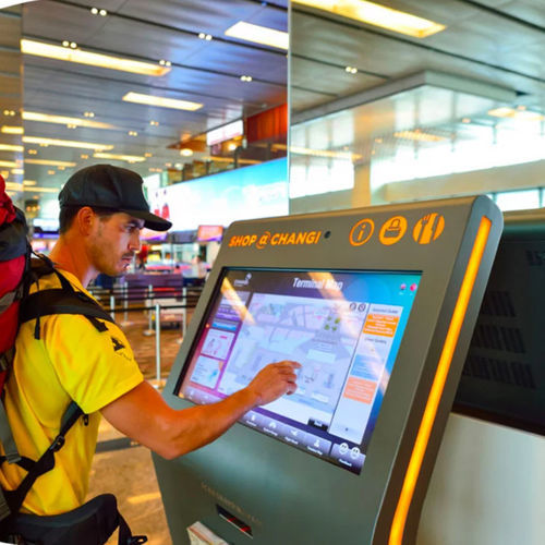
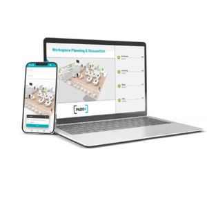
With PADS4 create your interactive map and let yourself be guided. Whether you are looking for a store, a person or a workspace in a company, a service in a public place or your gate in an airport, PADS4 Wayfinding will be able to adapt and personalize the response to each situation.
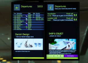
Moreover, Combine your orientation map, your reservation system or any other practical information with advertising messages.
Customizable
Thanks to the PADS4 Designer module, whatever the resolution or orientation of your display, whether passive or interactive, in 2D or 3D, very easily adapt your plan to your sector of activity by integrating your graphie charter
Simple to set up
ln a few clicks, integrate your plan and define your road by zone, by floor or by building.
External interaction
Create interaction with external elements through QR code, barcode reader, NFC badge... moreover when the screen is not consulted, automatically switch to dynamic display
Database connection
With PADS4, take advantage of its native connection with ail types of databases to simplify and facilitate the automatic updating of information
Airport
Arrivals, departures, boarding gate, VIP area, facilities… PADS4 will help you find the right direction with information on flights and journey times.
With interactions, get recognized and receive your personalized journey.
Find and book a hotel when you arrive.
*Prices are pre-tax. They exclude delivery charges and customs duties and do not include additional charges for installation or activation options. Prices are indicative only and may vary by country, with changes to the cost of raw materials and exchange rates.


