- Software - Simulation
- Software
- Calculation software
- Phoenix LiDAR Systems
Planning software qualitycalculationLIDAR

Add to favorites
Compare this product
fo_shop_gate_exact_title
Characteristics
- Function
- planning, quality, calculation, LIDAR
- Applications
- for drones
- Deployment mode
- web-based
Description
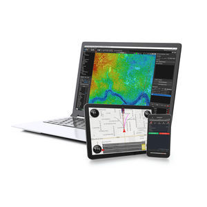
Calculate your flight plan, review estimated LiDAR data quality, and upload a terrain-following KMZ directly to your UAV… before you fly.
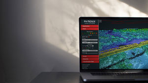
Explore the effects that different parameters have on your data before you fly. Estimate your data quality and reduce costs by experimenting with various flight paths, altitudes, and other variables using the Phoenix Flight Planner.
How Does Phoenix Flight Planner Help Me?
We’re proud to offer Flight Planner as a free, web-based service to all Phoenix LiDAR clients.
LiDAR data is heavily affected by sensor, altitude, terrain, and more. Using the Flight Planner tool, Phoenix customers can save time and money by planning missions before going into the field.
Calculate your flight plan based on your area of interest (AOI).
Estimate your LiDAR swath and point density based on terrain, speed, and more.
Anticipate MTA zones that may affect data quality, especially in uneven terrain.
Upload a terrain-following KMZ directly to your UAV.
VIDEO
Catalogs
No catalogs are available for this product.
See all of Phoenix LiDAR Systems‘s catalogs*Prices are pre-tax. They exclude delivery charges and customs duties and do not include additional charges for installation or activation options. Prices are indicative only and may vary by country, with changes to the cost of raw materials and exchange rates.


