


{{product.productLabel}} {{product.model}}
{{#if product.featureValues}}{{product.productPrice.formattedPrice}} {{#if product.productPrice.priceType === "PRICE_RANGE" }} - {{product.productPrice.formattedPriceMax}} {{/if}}
{{#each product.specData:i}}
{{name}}: {{value}}
{{#i!=(product.specData.length-1)}}
{{/end}}
{{/each}}
{{{product.idpText}}}
{{product.productLabel}} {{product.model}}
{{#if product.featureValues}}{{product.productPrice.formattedPrice}} {{#if product.productPrice.priceType === "PRICE_RANGE" }} - {{product.productPrice.formattedPriceMax}} {{/if}}
{{#each product.specData:i}}
{{name}}: {{value}}
{{#i!=(product.specData.length-1)}}
{{/end}}
{{/each}}
{{{product.idpText}}}
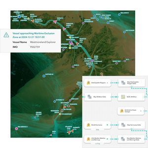

... Overview
ArcGIS Velocity is a real-time geospatial analytics and mapping extension for the ArcGIS platform that connects live location data from sensors, assets, and external feeds to deliver immediate maps, dashboards, alerts, and automated ...
ENVIRONMENTAL SYSTEMS RESEARCH INSTITUTE, INC.


... Optimize pre-departure sequences, maximize airport runway capacity and improve on-time performance even in adverse conditions with Amadeus Airport Sequence Manager. Optimize departures and maximize your airport runway capacity Amadeus Airport Sequence ...


... Cloud multiplatform USSP (U-space Service Providers) with a scalable design that enables end-user to fly their drones safely The UTM Connect is the multi-platform USP (Unmanned Service Provider) in charge of connecting a drone with the rest of the ...
INDRA


... CAST Terminal provides scalable and realistic models of airport terminals and other passenger handling facilities. It enables decision support for planning, design, capacity analysis and optimization of terminal infrastructure and operational processes. CAST ...

... remote/oceanic operations (including Minimum Navigation Performance Specifications (MNPS) airspace), making it possible to obtain approval for remote/oceanic operations using GPS as a primary means of navigation. The ...
Universal Avionics Systems Corp.
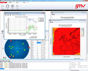

... specifically designed to meet the needs of air navigation service providers and airspace users. The MagicGEMINI® design is multi-constellation oriented, so it supports performance analyses for operational navigation ...
GMV
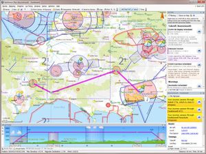

The flight planning features in SkyDemon are all designed to make planning a flight less tedious and more interesting, by bringing the very best aeronautical briefing information directly to your fingertips in real time as you explore our charts and experiment ...
SkyDemon


... Collaborative Decision Making tool INFOPAX A-CDM is an airport management tool based on the sharing of information between the various stakeholders in order to improve airport efficiency. INFOPAX A-CDM relies on aircraft rotations, as well as the ...
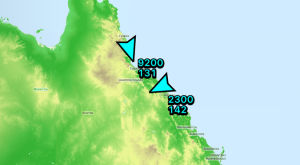

... Live in-flight tracking via 3G/Cellular networks or satellite. Your location can be shared with others via the avplan-efb.com website. If you do not turn up at your destination we have some idea of where to begin to search. AvPlan EFB even displays the ...
AvPlan EFB


... digital-native generations, Polaris benefits from over 25 years experience in creating advanced, operationally-proven ATM software. Polaris ATM not only represents the latest industry technology, but its modular architecture enables the ...


... A-CDM Partners are listed below: The Airport Operator Aircraft Operators Ground Handlers De-icing Companies The Air Navigation Service Provider (ATC) The Network Manager Support Services (Police, Customs and Immigration, etc) ...
TAV Technologies
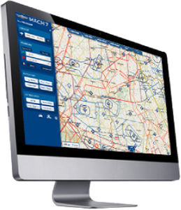

... MACH 7 is a next-generation software for flight planning and GPS navigation for VFR pilots. It associates the advantages of web and tablets. Its main characteristics are the following: Total intuitiveness: no user ...
MACH 7
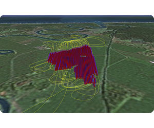

SprayView allows you to create powerful flight reports. With both SprayView and NavViewW, you can create a detailed flight data report with spray data. SprayViewW allows you to create additional reports which can be customized with the information you ...
AG-NAV


... program code for hyperCAD®-S from scratch. The software architecture, the kernel, graphics, databases, user interface and API are all modern and based on 64-bit-technology. The result: decisive hardware and software advantages ...


... Complex Solutions for Airspace Users and ANSPs IXO SYSTEM represents a complex solution for airspace users and providers who look for a product that seamlessly integrates information on manned and unmanned aircraft operations and provides real-time ...


... Air Navigation Service Providers (ANSPs) around the world use the Aurora system and its advanced air traffic management capabilities to improve airspace efficiency and safety while delivering higher levels of service to airspace users. ...
ADACEL


... sensors, together with operational messaging, NOTAMS and status information to controllers. Document organization, storage, navigation and display features for charts, procedures and other data are all included. ...

... IMS4 Briefing supplies meteorological information to aviation users in order to ensure the safety and regularity of air navigation. IMS Briefing workstation, either standalone or fully integrated within IMS4 AWOS, facilitates collecting ...
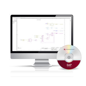

... during development, testing, and field applications. For ease of learning and use, the GAP software diagram entry screen has the look and feel of several software simulator tools familiar to many control engineers. ...
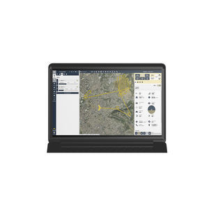

... Flight planning software for eBee drones. This easy-to-use desktop ground station allows you to intuitively plan your missions, interact with your drones during the flight and prepare the data for post-processing. Easy to use Beginner-friendly ...
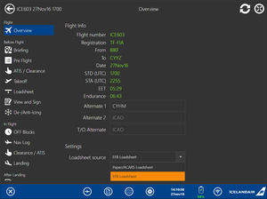

... III hardware applications providing the avionic supplier enable installation of 3rd party software on the aircraft’s Class III EFB units. Type A, B and C software solutions are supported. ...
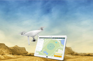

... FLIGHT PLANNING DRONE APP FOR HIGH RESOLUTION PHOTOSHOOTING Designed for land surveying, construction and infrastructure mapping, DatuFly™ drone app optimizes flight and image capturing per job type. The image taking plan is executed based on DatuSurvey™ ...


... dedicated solution. This is also a requirement for the implementation of SWIM, virtual centres and remote towers. Air Navigation Service Providers (ANSPs) integrate multiple technologies (e.g. MPLS, microwave, VSAT) onto a single ...
Systems Interface Limited


... -ES” Industrial consortium. NEXT has been involved in many phases of the system lifecycle in charge of software verification and validation, software components integration, database and information management for flight ...
NEXT INGEGNERIA DEI SISTEMI SPA


... Avidyne, GNS530, GNS430 and mores. Navigation data is currently limited to USA coverage. Product support is available at $300 per year. This support includes email and telephone support, software upgrades and navigation ...