- Drones
- Drone equipment
- Mapping LIDAR laser
- Inertial Labs, Inc.
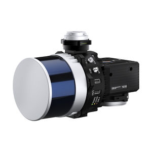
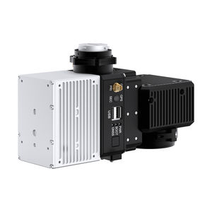
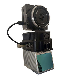
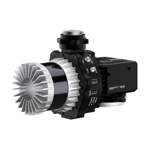
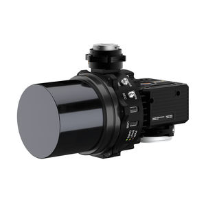
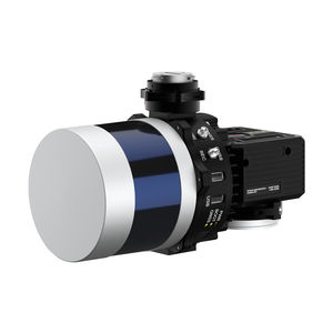
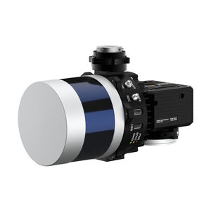
Mapping LIDAR laser RESEPI Hesai XT-32for surveyingmeasurementfor scanners

Add to favorites
Compare this product
fo_shop_gate_exact_title
Characteristics
- Function
- for mapping, for surveying, measurement, for scanners
- Applications
- for drones
- Other characteristics
- GNSS, GPS, WiFi
Description
RESEPI Overview
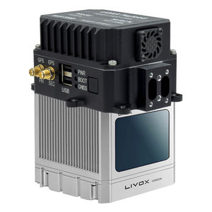
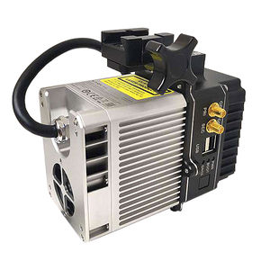
RESEPI (Remote Sensing Payload Instrument) is a sensor-fusion platform designed for accuracy-focused remote sensing applications. RESEPI utilizes a high-performance Inertial Labs INS (GPS-Aided Inertial Navigation System) with a tactical-grade IMU and a high-accu- racy dual-antenna GNSS receiver, integrated with a Linux-based processing core and datalogging software. The platform also provides a WiFi interface, optional imaging module and external cellular modem for RTCM corrections. RESEPI can be operated by a single hardware button or from a wirelessly connected device via a simple web inter- face.
RESEPI HESAI XT-32
Compact and light-weight, the RESEPI XT-32 featuring a Hesai LiDAR scanner, is all-around a very attractive system, offering the benefits of best-in-class data accuracy, good detection range, high point density, and versatility.
APPLICATIONS
The RESEPI XT-32 was strategically designed for multiple application bases. RESEPI XT-32 offers mounting options for: mobile vehicles, DJI supported drones (DJI M300, M600 Pro), custom drones, handheld platforms, vehicles, the Freefly Alta-X and many more. Because of this diverse mounting portfolio, the RESEPI can be used for many services including: utilities mapping (powerlines), construction volumetrics, site surveying, precision agriculture, forestry, mining operations, and much more.
SYSTEM
System Vertical Accuracy (5m/s @ 50m): ±3cm
Weight: 1.7kg (with camera)
Weight: 1.3kg (without camera)
Dimensions: 20.8x17x14.2 (cm)
Max Flight Time (DJI M300): 33 Minutes
External Storage: 256GB USB Included
VIDEO
Other Inertial Labs, Inc. products
LiDAR Remote Sensing Payload Instrument (RESEPI™)
*Prices are pre-tax. They exclude delivery charges and customs duties and do not include additional charges for installation or activation options. Prices are indicative only and may vary by country, with changes to the cost of raw materials and exchange rates.


