- Drones
- Drone equipment
- Mapping LIDAR laser
- Inertial Labs, Inc.
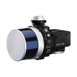
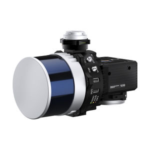
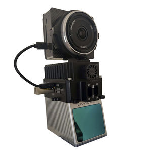
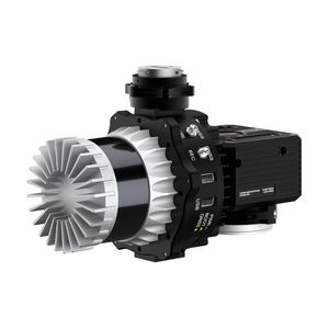
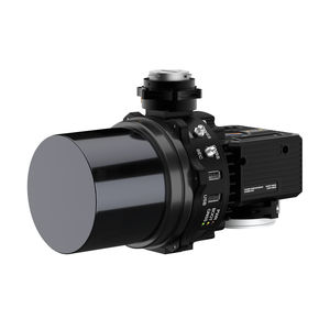
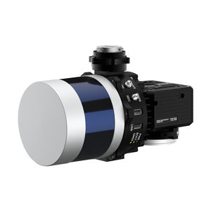
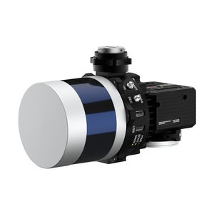
Mapping LIDAR laser RESEPI Livox Mid-40for surveyingmeasurementfor scanners
Add to favorites
Compare this product
fo_shop_gate_exact_title
Characteristics
- Function
- for mapping, for surveying, measurement, for scanners
- Applications
- for drones
- Other characteristics
- GPS, GNSS, WiFi
Description
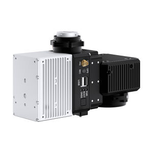
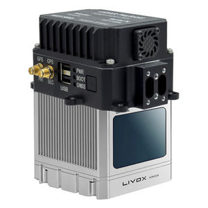
The Remote Sensing Payload Instrument - RESEPI® was designed as a cost-effective solution for extremely accurate Remote Sensing applications. RESEPI® utilizes a high-performance Inertial Labs GPS-Aided Inertial Navigation System (INS) with Novatel RTK/PPK single or dual antenna GNSS receiver, integrated with a Linux-based processing platform. The processing platform contains a WiFi interface, external cellular modem to support RTCM corrections, datalogging software and automated post- processing. RESEPI® can be used with commercially available LiDARs like Hesai, Velodyne, Quanergy, Ouster, RIEGL, and LIVOX. The device was built with the purpose of white-abeling.
All components are mounted into one compact and light-weight enclosure and the boresighting and point cloud software powered by Waypoint® Inertial Explorer from Hexagon | NovAtel® is fully automated to provide optimized PPK results.
RESEPI® Specifications
Weight: 0.37 kg (circular enclosure w/o LiDAR); 0.42 kg (rectangular enclosure w/o LiDAR)
Power Consumption: 12 W (with VLP-16 LIDAR)
Position Accuracy (GPS-Aided INS): 0.5 cm (PPK estimated) / 1 cm + 1 ppm (RTK)
Attitude Accuracy (GPS-Aided INS): <0.01 deg Pitch & Roll; <0.05 deg Heading
Precision (Point Cloud): 3 - 5 cm (dependent on LiDAR, taken on the same target @ 50 m AGL)
Scanner field of View (FOV): 360 deg (depend on LiDAR selection)
Scanner (LIDAR): VELODYNE VLP / QUANERGY / RIEGL / OUSTER / Livox / Hesai
Inertial Navigation System: Inertial Labs INS-B-OEM; INS-D-OEM
Type of recorded data: GNSS data for PPK; GNSS time-stamped INS & IMU data; GNSS time- stamped LiDAR scans; GNSS time-stamps for camera strobe pulses
Other Inertial Labs, Inc. products
LiDAR Remote Sensing Payload Instrument (RESEPI™)
*Prices are pre-tax. They exclude delivery charges and customs duties and do not include additional charges for installation or activation options. Prices are indicative only and may vary by country, with changes to the cost of raw materials and exchange rates.


