
- Products
- Catalogs
- News & Trends
- Exhibitions
Navigation software Charts+for mappingaeronautical
Add to favorites
Compare this product
fo_shop_gate_exact_title
Characteristics
- Function
- navigation, for mapping
- Applications
- aeronautical
Description
Charts+
Your complete digital charts!
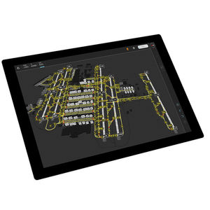
Charts+ is a ready-to-use set of digital charts (IFR, terminal, en route) that draws on information published by national Aeronautical Information Services.
Updated according to the 28-day AIRAC schedule, Charts+ is available for multiple platforms and can be customised to user requirements. Each piece of chart data is processed individually to provide relevant and customised content in all operational contexts.
*Prices are pre-tax. They exclude delivery charges and customs duties and do not include additional charges for installation or activation options. Prices are indicative only and may vary by country, with changes to the cost of raw materials and exchange rates.


