- Software - Simulation
- Software
- Mapping software
- PrecisionHawk

- Products
- Catalogs
- News & Trends
- Exhibitions
Control software PrecisionViewer for mappingfor dronesreal-time

Add to favorites
Compare this product
fo_shop_gate_exact_title
Characteristics
- Function
- control, for mapping
- Applications
- for drones
- Type
- real-time
Description
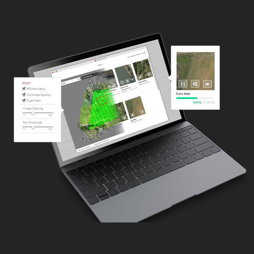
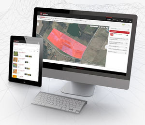
The PrecisionViewer desktop application lets you immediately view drone captured data in the field, see flight path coverage and add ground control points with a few simple clicks. COMPATIBLE WITH ANY DRONE INTUITIVE USER INTERFACE
VIDEO
*Prices are pre-tax. They exclude delivery charges and customs duties and do not include additional charges for installation or activation options. Prices are indicative only and may vary by country, with changes to the cost of raw materials and exchange rates.


